Altion FIMS
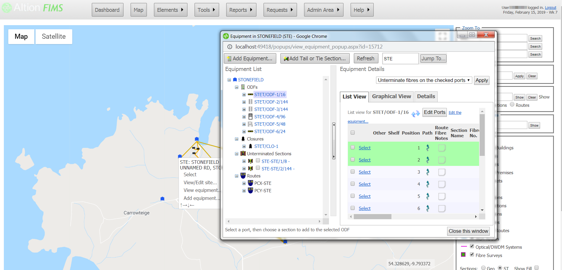
FIMS is an Optical Network Inventory Manager. The system supports the design, operation and maintenance of fibre optic cable networks. FIMS stores optical information, and details of optical related equipment at exchange buildings and other sites. FIMS shows the information in tabular and graphical form, and can also display the data on a map. FIMS produces a variety of reports, enabling the user to quickly determine fibre usage, shortest path, etc.
FIMS Version 4.0 supports Google Maps, allowing site and section co-ordinates to be accurately stored. You can add map components to anywhere on the globe.

Thanks to Google's GeoCoding, sites can be added by simply clicking on the map and the address will be filled in automatically. When a section is added, it's path can be quickly drawn and saved.
You can visually compare the paths of separate circuits on the map, allowing you to determine if the paths are geographically diverse.
For more information on Altion FIMS, download our factsheet here.